HIGH-PRECISION GEOSPATIAL DATA

What Is Mobile Mapping And LiDAR?

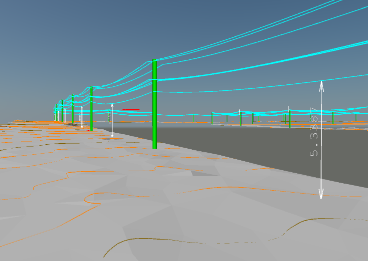
Our Mobile Mapping and LiDAR solutions provide high-precision geospatial data by integrating LiDAR, GPS, and imaging technologies. Whether you’re mapping urban environments or vast landscapes, our Mobile Mapping services deliver detailed and up-to-date spatial information.

Mobile Mapping and LiDAR Surveys combine advanced sensors, GPS technology, and imaging systems to create immersive, high-definition digital representations of physical environments. These surveys offer a detailed, interactive, and true-to-life view of locations, enabling a wide range of applications across industries.
Benefits

Why Mobile Mapping And LiDAR?

Efficiency and Accuracy

By swiftly capturing vast amounts of data in a single pass, these surveys significantly reduce the time and effort required for traditional data collection methods. The resulting data is highly accurate and comprehensive. 

Detailed Visualisation

The digital models generated from these surveys offer an unparalleled level of detail, allowing you to explore every nook and cranny of a space remotely. 

Versatile Applications

From urban planning and architecture to asset management and virtual tourism, the applications of Mobile Mapping and LiDAR Surveys span numerous industries.

Informed Decision-Making

The detailed and up-to-date data obtained from these surveys empower professionals to make well-informed decisions based on real-world conditions.