Ground Penetrating Radar for Utility Detection on North East Link
- By: Rick Maher
- Project
This Article was written and published by the Major Transport Infrastructure Authority. Download the original PDF here.
The Situation
During site investigations, it is important all underground services are identified to help inform design and construction methodologies. Traditionally, a hand pushed Ground Penetrating Radar (GPR) is used to locate these services.
With long stretches of freeway alignment, multiple bridge structures and on/off ramps needing to be examined during the Eastern Freeway site investigations, using a hand pushed GPR would:
- Require extensive traffic management,
- Pose risk to workers working on live roads,
- Impact road users by requiring lane and road closures, and,
- Require significant labour hand-pushing the GPR device.
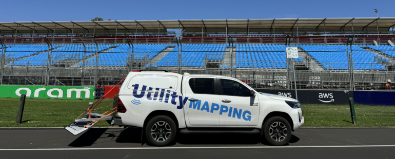
A non-invasive, quicker, and safer approach was required. The North East Link South Alliance (NELSA) worked collaboratively with Utility Mapping to instead use a vehicle-mounted GPR unit during these works.
The Solution
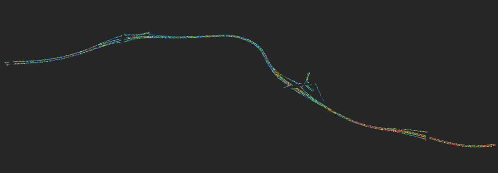
Utility Mapping applies the Step Frequency 3D Radar to detect sub-surface utilities. This unit provides an accurate, high-resolution, three-dimensional view of the subsurface, all the while being towed by a vehicle.

By taking the workers off the road and no longer manually pushing a device over long stretches of road surface, the vehicle-mounted device creates multiple benefits for the project, including:
- Significant reduction in traffic management required,
- Preventing exposure of on-foot workers to live traffic hazards,
- Less impact to road users due to minimal traffic disruption, and
- Less manual handing risk from no longer pushing the device.

The device also immediately uploads its data, giving the end-user reliable and quick access to data. This technology could be transferred to other industries, including utility infrastructure, bridge decks structures, ports / airports, rail, tunnels, pavements, voids and sinkholes, cultural heritage, and geotech / environment.
Benefits and Learnings
NELSA have greatly benefited from this vehicle mounted device. Over 350 kilometres of road was mapped over a 3-week program, a feat that would have taken close to 4 months using the traditional manual device. By using GPR NELSA has also:
- Reduced labour hire costs
- Reduced expenses from time savings
- Reduced costs in traffic management requirements such as plans and equipment
- Consultation and community savings due to less disruption

Further to this, the use of vehicle-mounted radars has:
- Reduced impact to public road users
- Kept workers off live roads
- Reduced impact and use of traffic management
- Reduced the amount of night works, in turn reducing worker fatigue
- Provided quick and reliable data to inform construction methodologies
- Provided information of subsurface utility layout
Get in touch to see how Ground Penetrating Radar can help your project.

